Autonomy · On-site AI · Automation

Intelligence for the physical world

Aionautics builds the autonomy, on-site AI and automation that run farms, clinics, roads, waterways, cities, warehouses, shops and homes. One engine, eleven products.

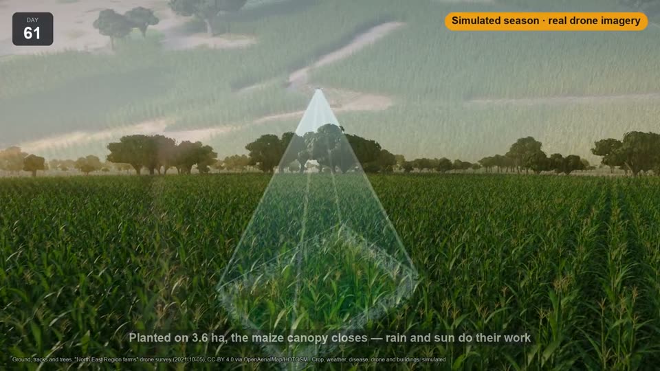
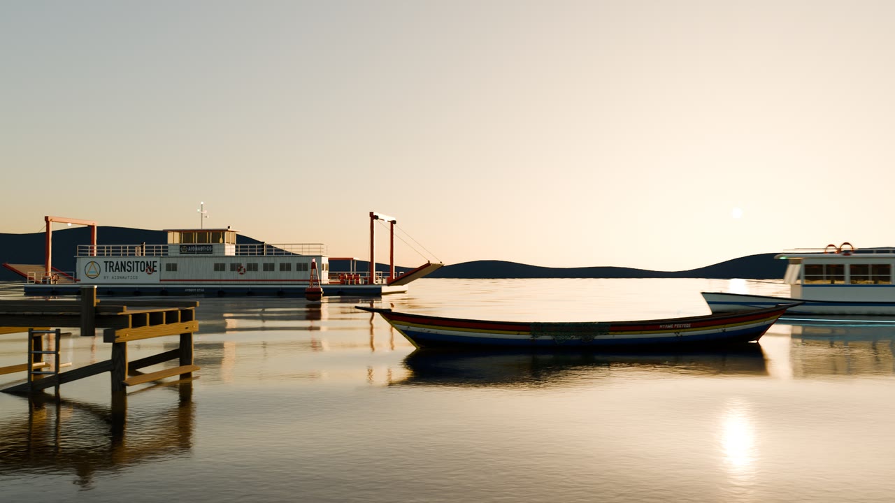
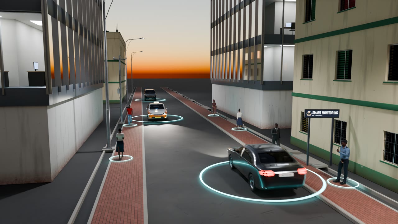
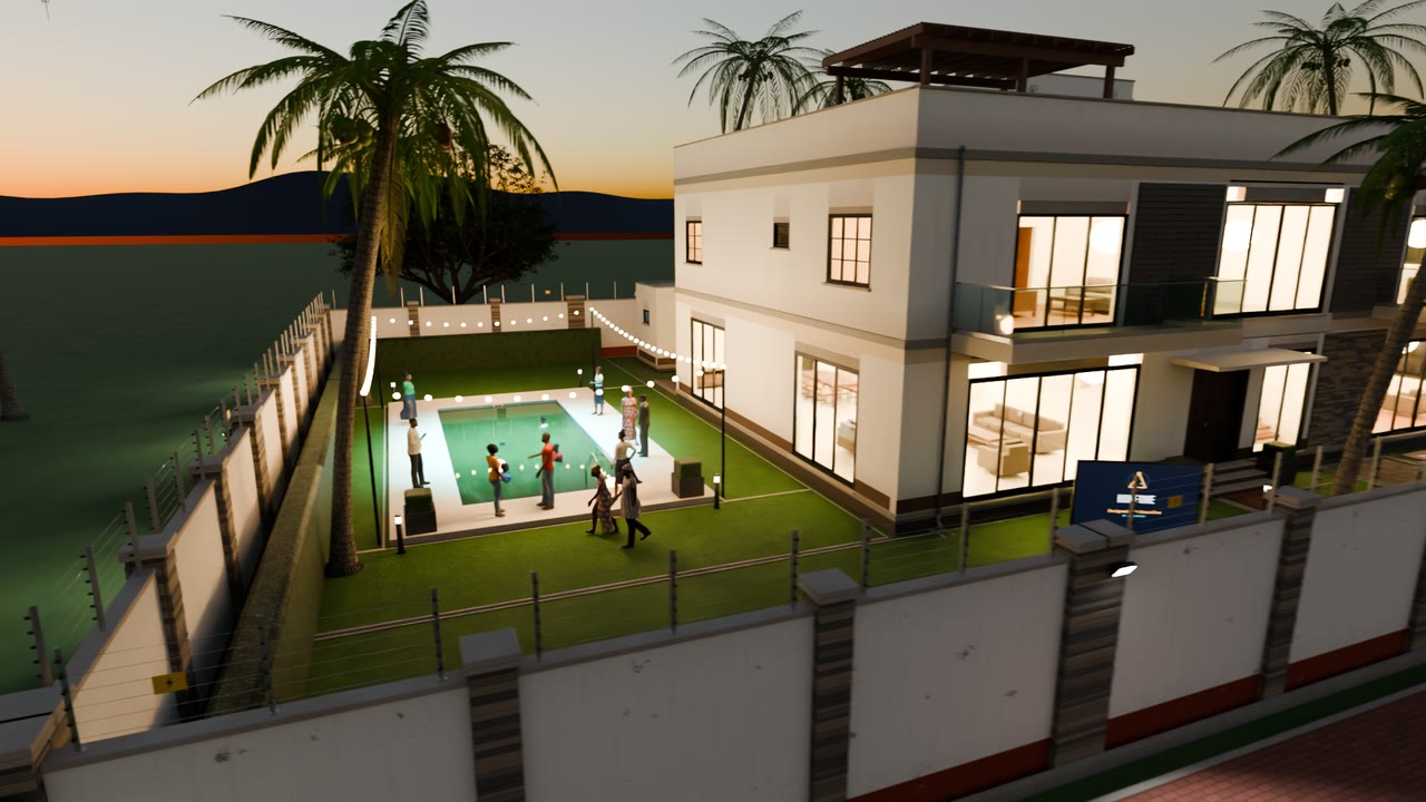
Concept film Rendered scenes built from our own 3D model library.
11products built on one engine, each on its own infrastructure
9kinds of place it works: from fields and clinics to roads and homes
3 cmper pixel: the drone imagery the vision AI reads
On sitewhere the AI runs, so the data it reads stays where it was collected
The engine

Sense, understand, decide, act

Every product is the same four steps, pointed at a different kind of work.

  1. 01

    Sense

    Drones, satellites, cameras, sensors, scanners and phones collect what is happening, where it happens.

    a field · a road · a ward · an aisle
  2. 02

    Understand

    Specialised AI models read it on hardware at the site, so the data stays where it was collected.

    no cloud AI service in the loop
  3. 03

    Decide

    Rules written into the code, and a person who confirms before anything that matters is done.

    flag · verify · approve
  4. 04

    Act

    The job is dispatched, tracked and paid for: a drone, a vehicle, a robot or a person does only what was approved.

    dispatch · track · settle
Products

One engine, many fields

Aionautics builds the core technology once. Each product puts it to work in one sector, on its own infrastructure, for whoever runs that sector: a ministry, a city, a company or a cooperative.

Aionautics

The technology company. It designs the autonomy, vision AI and automation once, and every product builds on them.

AutonomyPlanning, routing and dispatch for drones, vehicles and robots.
Vision AISegmentation and labelling models that run on site, not in a cloud.
AutomationWorkflows that move a job from flag to verify to act to pay.
SimulationWhole scenarios simulated and rendered from real survey data.
Eleven products one per sector
AgriculturePlatform built

AgriSmartOne

AI, drones and sensors for farmers and the hubs that serve them: what to grow, how to grow it and how to sell it, as one field journey.

  • Drone and satellite scouting by zone, with verification before any treatment
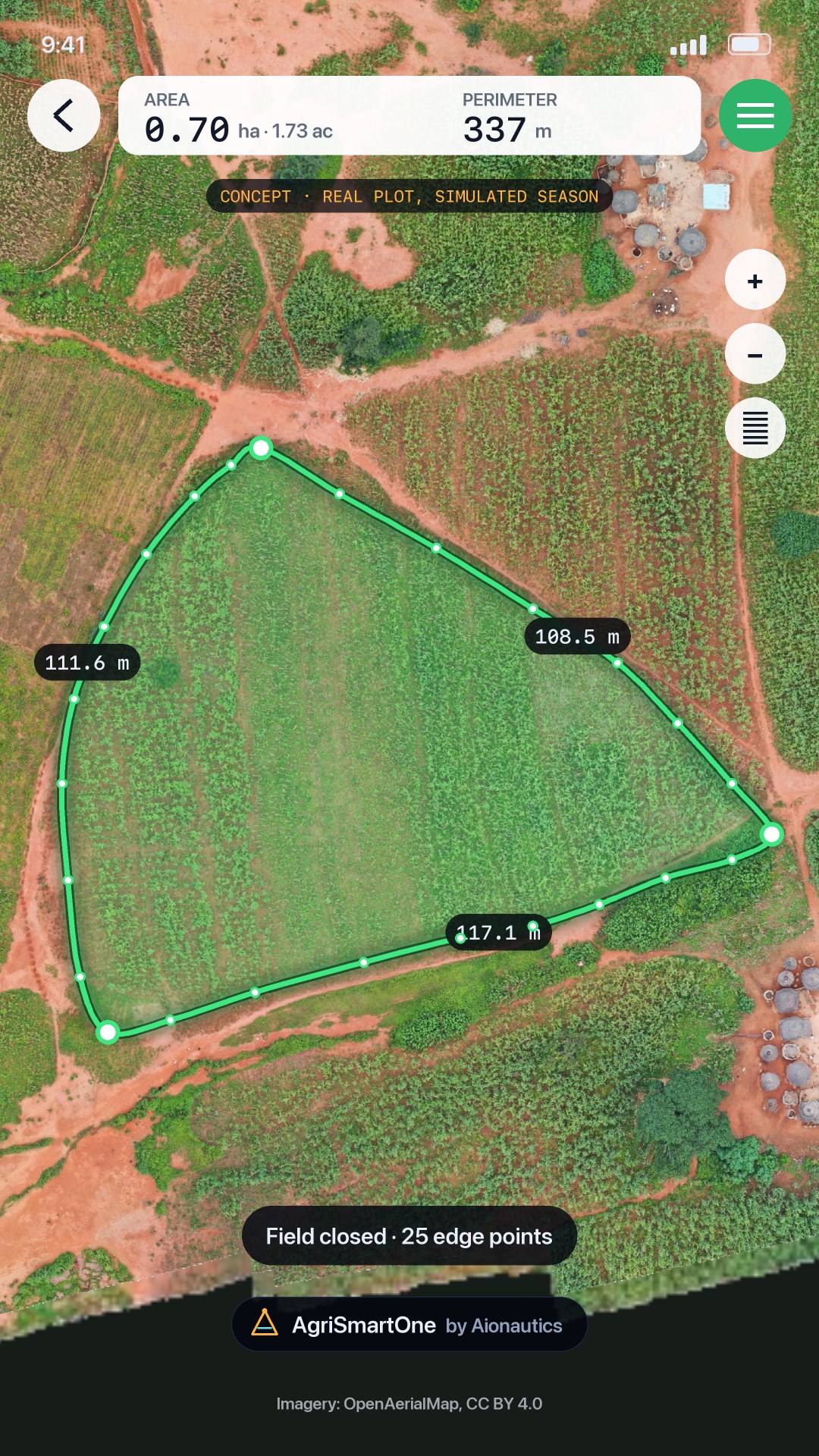
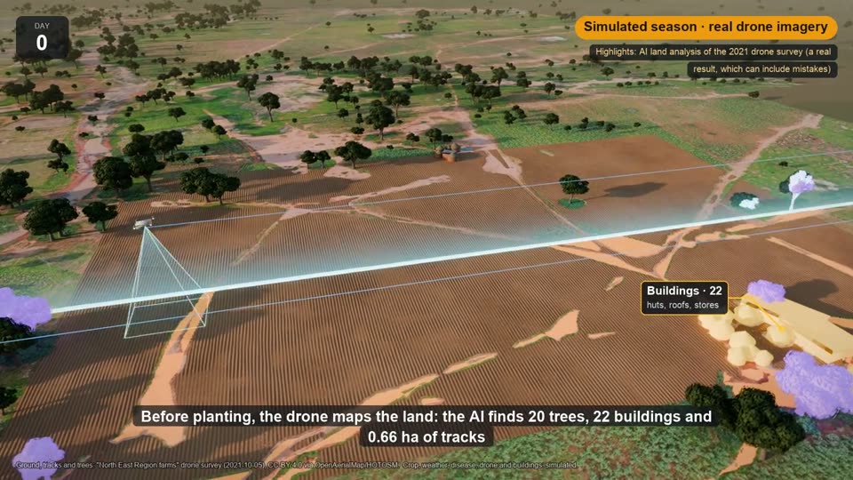
  • Whole-field land analysis: tracks, buildings, trees, stones, crop
  • Crop plans, peer lending, harvest sales and buyer auctions on one ledger

16 demo farms running · pilot hubs in planning
HealthJourney built

CareOne

Find and book care, keep records in one patient portal, and get lab results explained in plain language after a clinician reviews them.

  • Booking with mobile money, reminders, e-check-in and video visits
  • Family access for caregivers, e-prescriptions routed to pharmacies
  • International second opinions, with every access audited

Whole patient journey clickable · partners simulated

Nine more products on the same engine
See it working

The engine, end to end, in one product

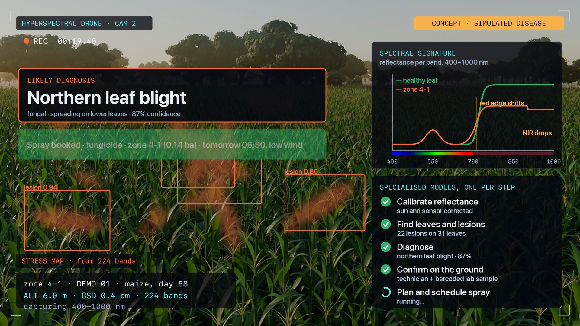
AgriSmartOne is the furthest along, so it is the clearest proof. A survey drone maps a field zone by zone, the AI finds what is on it, a technician confirms the problem on the ground, and a spray drone treats only that zone. Every other product follows the same pattern.

Specialised AI

A model for every step of the work

Each step has its own model, chosen and tuned for that one job, and they pass the work along like a relay. All of them run on hardware at the site, so the data they read never goes to a cloud AI service. This is the relay behind AgriSmartOne.

  1. 01Live
    orbit-watch

    Satellite watch

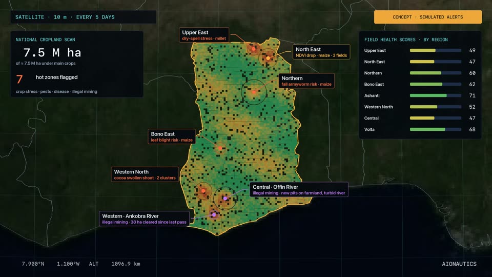
    Scores every field from 10 m satellite passes and flags sharp drops. Alerts for new mining pits are in development.

  2. 02Live
    field-segment

    Segment

    Cuts every drone tile into regions, about 1.3 seconds a tile.

  3. 03Live
    land-label

    Label

    Names each region: crop, bare soil, grass, tree, water or rock.

  4. 04Live
    object-find

    Find by name

    Finds huts, tracks, stones and trees from a single word, catching what the first pass missed.

  5. 05Live
    crop-health

    Zone health

    Scores each of the field's 25 zones from drone bands and flags the weak ones.

  6. 06In development
    disease-id

    Diagnose

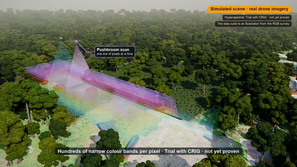
    Reads hundreds of narrow bands to name the disease, then asks for a lab sample to confirm it.

  7. 07Live
    treat-plan

    Plan and book

    Turns a confirmed problem into a prescription for that zone only and books the spray drone.

Films

Rendered from the platform's own data

We simulate whole scenarios from real survey data and render them, so a ministry, an investor or an operator can watch a system work before it is built. The longest follows one farm from orbit to payment in under three minutes.

Principles

Rules written into the code

These are enforced by the software, not left to a policy document.

Data

Local-first AI

Inference runs on hardware at the hub. A cloud AI model would only ever be added by an explicit, disclosed decision.

Honesty

Simulated means labelled

Drones, sensors and partners that don't exist yet sit behind real interfaces and carry a "simulated" tag on screen.

Safety

Verify before treating

Imagery can flag a zone, but nothing is sprayed until someone confirms the problem on the ground.

Ownership

The farmer decides

The AI can suggest clearing a thicket or felling a tree. The farmer makes the call, and shea and other economic trees are never removed by default.

Contact

Put the engine to work with us

For partners, investors, government programmes and operators that want to run a pilot. Your message goes straight to the Aionautics team.

Partner with us

Privacy

The contact form stores your name, email, organisation, topic, message and the time you sent it in Aionautics' own database. We use it to reply to you and don't share it.

We measure visits on our own server with no cookies and nothing sent to analytics or ad companies: pages, where you came from, country and city, device, clicks, scrolling, films watched, form fields reached (never what you type) and a masked replay of the page, kept 90 days. Opt out on this browser with this link; details on the privacy page. Fonts load from Google Fonts. To have your message deleted, write to us through the same form.

Film credits

Drone imagery: OpenAerialMap, North East Region survey flown 5 October 2021, CC BY 4.0. Earth imagery: NASA Visible Earth, Blue Marble (public domain). Borders: Natural Earth (public domain). Plants, soil, terrain and the field scenes are generated procedurally and rendered in Blender.

ModelAuthorLicence
Harvester Near Completion (modified)webbsketchesCC BY 4.0
Low Poly Combine HarvestorsiedaltonCC BY 4.0
1975 FUSO Canter T200jinjinjinCC BY 4.0
Isuzu Elf seriesRomanov_13CC BY 4.0
Mado_Ricebags (modified)Korea Heritage ServiceCC BY 4.0
Warehouse FBX Model FreeNicholas-3DCC BY 4.0
Wooden PalletsYadroGamesCC BY 4.0
Microsoft Rocketbox avatars and motion capture (clothing re-dyed)© 2020 MicrosoftMIT